

Kenya’s plan to develop a National Marine Spatial Plan (MSP) – a national framework that will identify and designate marine spaces for different uses – has been welcomed as a crucial step toward resolving frequent conflicts arising from the competing uses of ocean space and its vast resources.
For years, fishermen, tourism operators, conservation groups and investors have often found themselves at odds over access and control of ocean resources. The absence of a structured plan and harmonised laws and regulations has led to overlapping claims, resource degradation and strained relations among coastal communities.
To address these challenges, the government through the Kenya Marine Fisheries and Socio-Economic Development (KEMFSED) project under the Ministry of Mining, Blue Economy and Maritime Affairs, has embarked on a participatory process to develop the spatial plan.
The plan will map out Kenya’s marine zones and assign specific areas for fishing, tourism, transport, conservation and other economic activities.
Stakeholders participating in making of the MSP, including National Land Commission, the Department of Land and Physical Planning, Beach Management Units (BMUs) and conservationists acknowledge that conflicts have been common, particularly between fishers and tourism enterprises operating in nearshore waters.
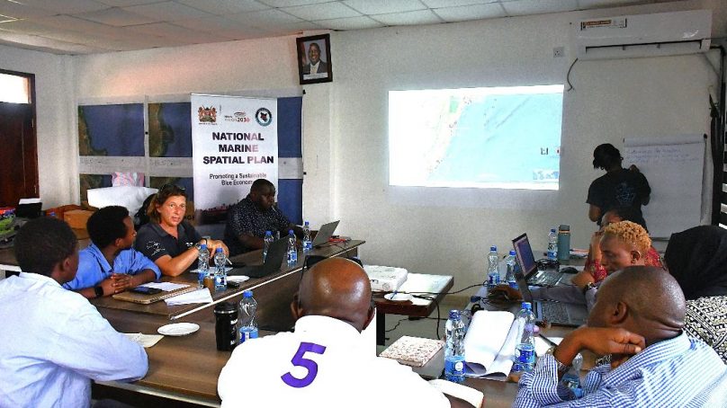
“This is a process of understanding uses and allocating them in the ocean space, so that should somebody come with a conflicting use, we understand that it does not fit in that space and an alternative space can be sought,” said Jackeline Uku, the National Coordinator for the Marine Spatial Plan.
Speaking during a stakeholder engagement forum in Kilifi County, the stakeholders noted that the MSP is designed to promote harmony among marine users and ensure the sustainable utilisation of the country’s blue economy resources.
“Public participation is a very critical part of our planning process so we can articulate views, identify our resources and offer guidance to exploit them for the benefit of this country in a more organized way so that we don’t have any chaos,” explained John Ntabo, Deputy Director of the State Department for Lands and Physical Planning.
The planning process involves using stakeholder’s views, scientific and studies such as cost-benefit analysis to determine the best options for using the marine resources to achieve economic, social and environmental objectives.
Environmental conservationists applauded the process, describing it as a major step forward addressing recurring conflicts among marine resource users.
Dabaso Creek Conservation Group member Dickson Mzinga of Dabaso Creek Conservation Group, expressed hope that their conservation activities will be recognised in the plan to continue safeguarding the marine ecosystem.
“I’m happy because at first, I didn’t realise that our tourism sites were also included in this spatial planning. It’s a good move since it will help reduce conflicts. There have been many disputes in those areas that, without this plan, would remain unresolved,” he said.
However, the stakeholders urged the government to extend the plan to include ocean shores and beaches, citing growing concerns over illegal encroachment by private developers on public beachfront land.
- A Tell Media / KNA report / By Jackson Msanzu


About author